
Warum eine beeindruckende Wüstenstadt nicht automatisch eine freie Gesellschaft war
9. November 2026The Garamantes: Herodotus Wrote Nomads. The Fazzan Survey Found Cities.
Herodotus called them nomads. A desert survey found walled cities instead.
KardiKassin · 9 Nov 2026 · 6 min read
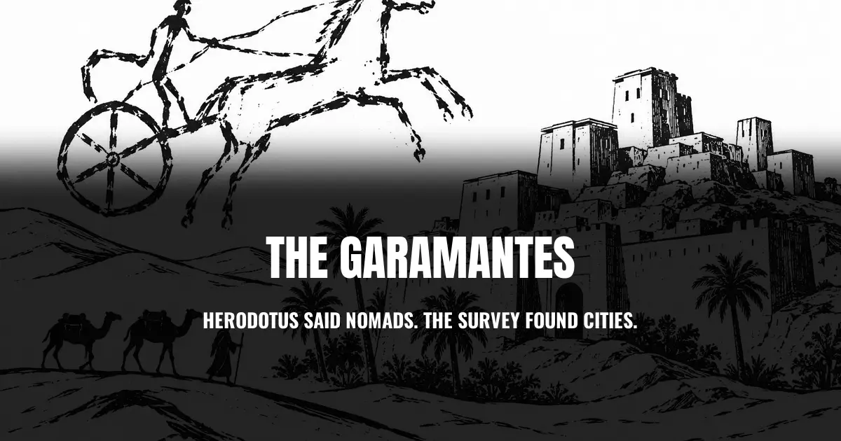
In the fifth century BCE, Herodotus described a people living deep in the Sahara whose cattle grazed backward, because their horns curved so far forward that grazing any other way was not possible. The same people, he wrote, hunted „cave-dwelling Ethiopians“ from four-horse chariots, chasing down men who were, in his account, the fastest runners anyone had ever heard of. He called them the Garamantes, and for most of the twenty-four centuries since, that was roughly all anyone had to go on: a strange footnote about a desert people on the far edge of the known world.
Then, starting in the late 1990s, a British-led survey team walked the Fazzan region of southern Libya and mapped what satellite images had already hinted at. Not nomads. Walls. Towers. Streets laid out on a grid. Gardens by the thousand.
A city the size of a Roman town, in the middle of the Sahara
The survey, led by archaeologists David Mattingly and Martin Sterry, recorded 158 previously unmapped settlements, 184 cemeteries, and 30 square kilometres of field systems across the central Fazzan, most of it unknown before the project began. The Garamantian capital, Old Jarma, covered at least 7.5 hectares, with a walled area reaching 9.3. A second town, Qasr ash-Sharraba, was larger still: 15 to 18 hectares, a planned street grid, a 0.7-hectare fort, and a field system of 556 hectares feeding roughly 1,600 individual gardens. The Greco-Roman geographer Ptolemy called Jarma a metropolis in his Geography and tied it directly to Garamantian kings, not wandering herders.
Mattingly and Sterry set those numbers against towns the Roman world already recognised as urban: Byzantine-period Sabratha on the Mediterranean coast at 9 hectares, Gigthis in North Africa at 20. The Garamantian towns sit in the same range, just further from the sea. The two archaeologists also proposed a threshold for what an oasis could manage on its own: up to roughly 4 hectares and 400 to 800 people, a settlement can support itself from its own fields. Beyond that line, it needs outside capital, trade or political power strong enough to hold the extra population together. Most of the surviving Garamantian fortifications date not from a period of decline, as a reader might expect, but from the settlements‘ peak, roughly 300 to 500 CE.
The survey did not just find two large towns. It sorted everything it mapped into a seven-tier hierarchy, from full towns like Jarma and Qasr ash-Sharraba down through fortified villages, villages built around a fortlet, open villages with no wall at all, isolated fortlets, isolated mudbrick buildings and, at the smallest end, isolated oval huts. That range matters for the argument Mattingly and Sterry are making: a single large excavation can be dismissed as an outlier, but a seven-tier settlement hierarchy spread across the 158 mapped settlements and 30 square kilometres of fields above is a description of an entire society, not one impressive dig.
Three readings of the same rock art
Scattered across the Sahara are rock engravings of horses pulling two-wheeled chariots. From the 1950s onward, the French researcher Henri Lhote read them as evidence of a fixed trade route, carrying goods as far as West Africa. That reading is now considered disproved. There is no wreckage west of the Fazzan, no early horse skeletons, and spoked wheels are a poor fit for deep dune sand in the first place.
Mattingly reads the same images more cautiously, as a sign of increased mobility across the first-millennium-BCE Sahara, nothing more, no continuous trade corridor. A third reading goes further, and it is the harder one to sit with. Archaeologist Elizabeth Fentress published a paper in 2011 titled „Slavers on Chariots,“ arguing the images may have more to do with slave raiding than with trade. I have only encountered this argument through the citation in Mattingly’s own 2017 chapter, not in the original paper itself, so what follows is a report that the argument exists and who is reporting it, not a judgment on whether it holds up on its own terms.
Three researchers, the same rock art, three different stories about what it shows.
What the canals actually cost
None of this worked without water, and the water came from foggaras: underground channels that carried groundwater to the surface, sometimes for kilometres. Without them, no gardens, no dates, no grain at the scale these towns needed. Keeping that system running cost an estimated 72,000 person-years of labor, according to Andrew Wilson and David Mattingly, who write plainly that the work was done, in their words, „in large measure… by the use of slaves.“
That is not an isolated guess sitting alone in one paper. The Tariff of Zarai, a Roman customs inscription from 202 CE, names mancipia, enslaved people, near the top of the list, ahead of textiles and livestock. An inscription, not a suspicion. The customs post itself, though, sat not in the Sahara proper but on its northern edge, in the Numidian highlands, and records trade mainly between the fertile Tell region and the pre-Saharan pastoral zone. Whether the people listed there actually came from as far as the Fazzan or from closer frontier populations is something the inscription itself does not say. What it does show clearly is how routine slave trading was along the whole North African periphery under Rome. Classicist Brent Shaw, reviewing the same body of research independently of Mattingly and Sterry, raises a second, harder question in the same review: was the Garamantian rise genuinely independent of Rome, as Mattingly tends to argue, or did it depend far more on proximity to the Roman Empire than the archaeological enthusiasm for the find tends to allow? Nobody has settled that question yet.
What doesn’t add up
A date got printed as a single point when the underlying evidence is three separate centuries. An early summary of the fort at Qasr ash-Sharraba gave its construction as beginning „around 230 CE,“ a tidy number that sounds precise. The original 2013 paper tells a messier story: three separate radiocarbon samples from the fort, spanning three disconnected windows, roughly 230 to 420 CE, 560 to 660 CE, and 1020 to 1220 CE. Not one founding date. A structure reused in phases across roughly a thousand years, into the Islamic period. What would resolve the confusion is already sitting in the paper, it just has to survive being summarised: treat the three windows as three separate episodes of use, not one clean beginning.
The strongest version of the slave-raiding reading of the rock art rests on a source that nobody citing it seems to have read in full, including this piece. Fentress’s 2011 paper gets invoked, here as elsewhere, almost entirely through a single sentence in Mattingly’s 2017 chapter. What qualifications, caveats, or counter-evidence her own paper contains is not something I can speak to, because I have not read it. What would settle it: reading „Slavers on Chariots“ itself, in Dowler and Galvin’s edited volume, rather than relying on how a later paper summarises it.
Two things that were true before the survey and remain true after it do not sit comfortably together. The Garamantes built cities on the scale of Roman towns, with planned streets, specialised metalwork, and an irrigation system that ran for centuries. They did it, in large part, on labor that was not free. A technical achievement can be real, and its foundation can still depend on people who had no say in building it. Shaw’s question about Rome also has no answer yet: how much of the Garamantian rise was its own doing, and how much was downstream of a much larger empire next door. Herodotus’s error was treating the Sahara as a blank edge of the world. The newer error would be treating what survey teams found there as a clean success story with no further questions attached to it.

KardiKassin
Writes about Africa’s history and how it gets told, sourced and checked at every step.

Made in Germany: How Your Picture of Africa Was Manufactured
Herodotus’s nomads turned out to be city builders. The free ebook traces more of the same kind of shortcut across how Africa’s past gets described.
- Mattingly, D. J. and Sterry, M.: The First Towns in the Central Sahara. Antiquity 87, 2013, pp. 503 to 518.
- Mattingly, D. J.: The Garamantes and the Origins of Saharan Trade. In: Mattingly, D. J. et al. (eds.), Trade in the Ancient Sahara and Beyond. Cambridge University Press, 2017, pp. 1 to 27.
- Shaw, Brent D.: Review of Sterry, M. and Mattingly, D. J. (eds.), Urbanisation and State Formation in the Ancient Sahara and Beyond. Journal of Roman Studies 111, 2021, pp. 292 to 294.
- Herodotus: Histories, Book 4, Chapter 183 (Rawlinson translation, public domain).